Standard cartographic symbols
map_presets.Rdmap_presets() lists the named symbols that map_polygons(),
map_lines() and map_points() accept as preset: the colours, line
widths, dash patterns and point shapes of topographic and atlas maps
(water in blue, forest in green, administrative boundaries dashed,
railways in black with long dashes, peaks as triangles), so that layers
follow common conventions without setting every argument. Colours are
readable for people with colour-vision deficiency and on white paper.
Examples
map_presets("line")
#> # A tibble: 10 × 10
#>    kind  preset     label     colour fill  border linewidth linetype shape  size
#>    <chr> <chr>      <chr>     <chr>  <chr> <chr>      <dbl> <chr>    <dbl> <dbl>
#>  1 line  river      River     #3B83… NA    NA          0.6  solid       NA    NA
#>  2 line  stream     Stream    #6BAE… NA    NA          0.3  solid       NA    NA
#>  3 line  road_major Main road #C039… NA    NA          0.8  solid       NA    NA
#>  4 line  road_minor Minor ro… grey45 NA    NA          0.35 solid       NA    NA
#>  5 line  track      Track     grey35 NA    NA          0.3  22          NA    NA
#>  6 line  railway    Railway   grey10 NA    NA          0.5  42          NA    NA
#>  7 line  boundary   Boundary  grey25 NA    NA          0.45 2242        NA    NA
#>  8 line  coastline  Coastline #4A90… NA    NA          0.4  solid       NA    NA
#>  9 line  contour    Contour   #A078… NA    NA          0.25 solid       NA    NA
#> 10 line  transect   Transect  #D730… NA    NA          0.6  solid       NA    NA
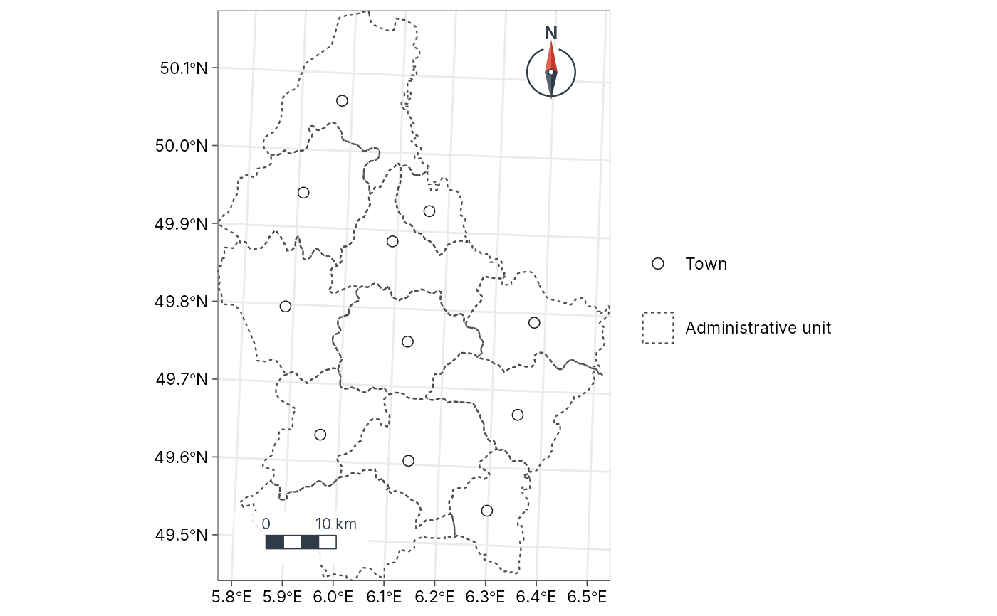
cantons <- sf::st_read(system.file("ex/lux.shp", package = "terra"), quiet = TRUE)
geo_map() |>
  map_polygons(cantons, preset = "admin") |>
  map_points(suppressWarnings(sf::st_point_on_surface(cantons)), preset = "town")